
Searcy ZIP Code Roles
Three postal codes serve Searcy, but they do not describe three equal residential zones. The principal code handles broad street delivery in Searcy and its surrounding postal area. A second code is tied substantially to post-office-box service. The third reflects Harding University's institutional mail geography. The ZIP code directory must keep those roles separate. A code can verify mail routing or narrow an address lead, yet it cannot prove that a person lives inside the city or even occupies a dwelling.
| ZIP Code | Areas Covered | Post Office | Notes |
|---|---|---|---|
| 72143 | Principal Searcy street delivery and surrounding postal area | Searcy Post Office | Standard code; may extend past the city line |
| 72145 | Searcy postal service tied substantially to PO boxes | Searcy Post Office | Verify the address type; not a neighborhood polygon |
| 72149 | Harding University campus and institutional mail | Harding mail operation in Searcy | Campus link does not prove permanent residence |
USPS groups all three under Searcy processing. The Searcy Post Office listing identifies the main facility at 600 W. Academy Avenue, 72143-9998, with retail service Monday through Friday from 8:30 a.m. to 5 p.m., Saturday from 9 a.m. to noon, and all-day PO Box access. The carrier annex is at 2701 E. Race Avenue, Suite 1. Those facts explain service points, not boundaries.
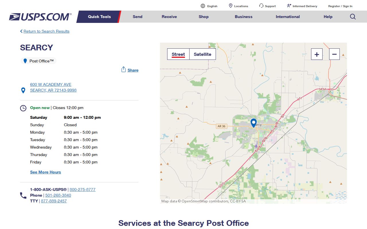
The official station view anchors the main postal facility while the coverage table keeps street, box, and campus functions distinct.
Verify a Searcy ZIP
The authoritative first check is the USPS ZIP Code Lookup. Search by a full street address when one is known. City-and-state searching is broader and can return the codes USPS associates with Searcy, but it does not decide whether a parcel lies inside the incorporated line. Keep the standardized address result exactly as returned, including directional terms, suffixes, unit details, and ZIP+4.
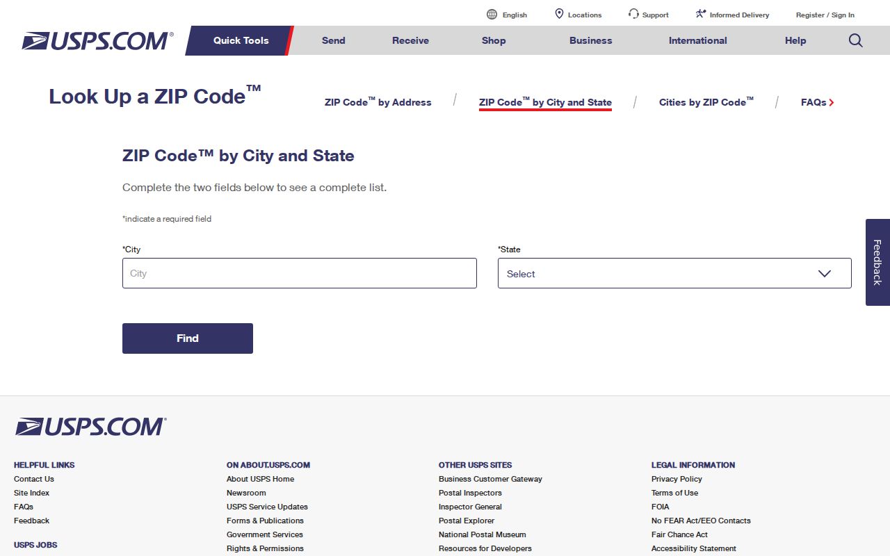
The USPS screen is the right tool for delivery validation before any Searcy parcel, voter, or court search begins.
No stable official USPS table exposed exact Searcy boundary polygons, per-code population, or a dated local realignment in the research. Third-party ZIP shapes should not be treated as legal boundaries. When an exact line matters, verify the address through USPS, then check the city and parcel jurisdiction separately.
Note: A valid Searcy mailing code confirms postal routing, not city taxes, city services, a household, or a person's current residence.
Searcy ZIP 72149 Geography
ZIP 72149 is the Searcy postal directory's clearest geography lesson. It serves Harding University's institutional and campus mail role rather than a general city district like 72143. A person connected to 72149 may be a student, staff member, office recipient, or another campus correspondent. That match alone says nothing firm about a permanent household.
Searcy's university population creates seasonal address movement and campus delivery patterns. Records must be matched by dates. A yearbook or archive item may establish an earlier school link, while a current parcel or public filing may establish a different address later. Do not turn a campus code into a personal trait or assume that everyone using it occupies the same kind of space. The human value is narrower: 72149 can focus a classmate or institutional-history search on Harding's archives without claiming a current home.
Searcy ZIP 72145 Boxes
ZIP 72145 is associated substantially with Searcy post-office-box service. A box is a delivery destination, not a parcel polygon. The same customer may live elsewhere, use a box for long-term mail, or receive mail for an organization. When 72145 appears in an old record, preserve it as a mailing clue and seek a separate physical address.
A property record may help if the person's owner name is known, because the assessor labels mailing and situs addresses separately. A business filing can also reveal whether the box belongs to an entity contact. Neither route should be stretched beyond its actual field. If the record says only PO Box and 72145, the sound conclusion is simply that mail was associated with the Searcy box system at that time.
Find Searcy Residents by ZIP
Local portals do not offer a simple public list of everyone in one code. The White County property interface emphasizes owner name, street address, and parcel number, not a verified free ZIP-wide resident browse. VoterView requires a person's first name, last name, date of birth, and county. It is not a street or code directory. The GIS viewer can select or inspect mapped areas, but no confirmed postal-code layer was found. Finding a person therefore moves from code to exact address or exact name.
- Verify the complete mailing address and code with USPS. Save the standardized form and ZIP+4 when returned.
- Confirm whether the site lies within Searcy through Arkansas GIS and White County parcel jurisdiction.
- Search the assessor by owner, normalized street address, or parcel. Label ownership, situs, and mailing fields correctly.
- Use VoterView only for a supplied identity with legitimate identifying facts. Treat a match as registration evidence, not a code-wide roster.
- For a lawful extract, follow the Secretary of State's voter-data request rules and honor every protected-field limit.
The Arkansas voter information hub explains registration and election access. Its public-facing material reinforces the difference between personal verification and a broad list. Once a code narrows the area to a named street, the Searcy Street Directory provides the address and parcel workflow.
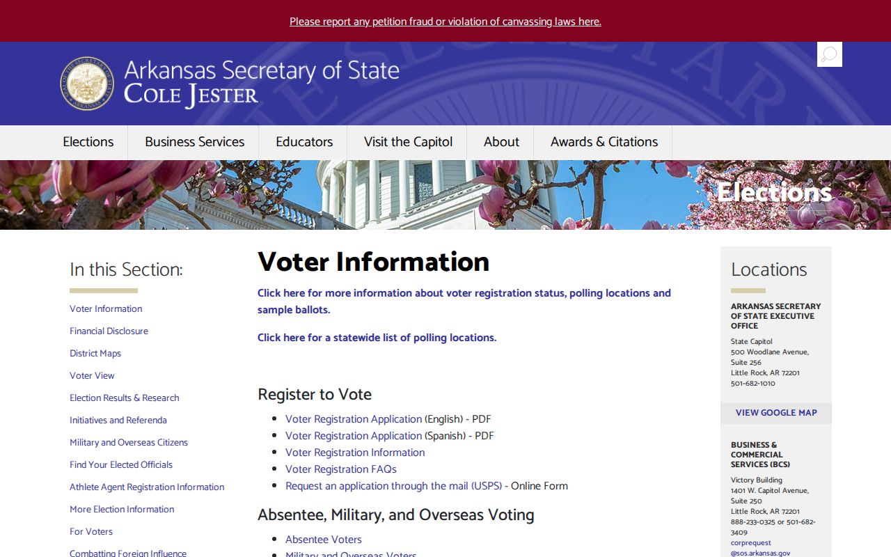
The state voter page supports the lawful access path while avoiding the false promise of browsing every Searcy resident in a code.
Searcy ZIP Search Fields
The Searcy postal directory becomes more reliable when each tool is used for the field it actually accepts. USPS validates mail. The assessor connects a name or street address to a parcel. VoterView verifies one supplied identity in White County. GIS supplies spatial context. None was confirmed as a public one-click code roster.
| Official tool | Useful inputs | What it returns | ZIP limit |
|---|---|---|---|
| USPS lookup | Street address, or city and state | Standardized delivery address and postal code | Postal result, not city jurisdiction |
| White County assessor | Owner, street address, parcel number | Owner, situs, mailing address, parcel facts | No verified free ZIP-wide browse |
| VoterView | First name, last name, birth date, county | Matched status, precinct, polling and district data | No resident browse by code |
| White County GIS | Address or place; map click and layers | Parcel and jurisdiction context | Postal layer not confirmed |
Arkansas voter-data instructions describe statewide VR, VH, and combined VRVH files. The voter-registration file can include permitted residence or mailing address fields and ZIP data, while protected information is excluded. Written requests follow the current state form and restrictions. Large extracts are not a substitute for one-person verification, and vote history never discloses ballot choices.
Searcy ZIP Records Offices
ZIP geography often ends at an office rather than a web filter. White County government links the assessor, Circuit Clerk, County Clerk, collector, and other custodians. The assessor can answer parcel and mailing-field questions. The County Clerk handles voter registration, probate, marriage licenses, and county-court orders. Those orders are a key place to ask about annexations and road changes. The Circuit Clerk and recorder holds deeds and plats that preserve legal land descriptions when postal wording shifts.

The county source helps route a disputed Searcy address to the keeper of the parcel, plat, voter, probate, or recorded document.
City Planning and Engineering handle permits, subdivisions, rezoning, and address-assignment evidence. County 911 or GIS may also know which authority assigned an address. For a disputed site, request the annexation or road order, subdivision plat, address-assignment record, and assessor parcel history together. Do not reverse-engineer a parcel number or assume that postal city text settles the matter.
Searcy ZIP and City Limits
A Searcy mailing address may lie outside incorporated Searcy. Postal names route mail; municipal lines determine city jurisdiction. That mismatch affects which office holds a permit, code case, annexation order, or city service record. White County parcel and court systems can still cover the address because Searcy is the county seat and the parcel remains in White County. The Arkansas GIS Office map tools, including Check My City, are the right second step after USPS.
The city's older core grew around a town site surveyed in 1850, with Philadelphia-derived street names around the courthouse square and Spring Park. Later growth, subdivision plats, and annexations produced a record geography that does not track a simple postal outline. County-court orders can document annexations and road vacations. Searcy Planning publishes subdivision, planned-unit-development, and rezoning material. A code sorts mail; a legal description and jurisdiction decide the public-record trail.
- ZIP and ZIP+4
- A ZIP identifies a delivery area or function; ZIP+4 narrows mail routing to a smaller segment.
- PO-box ZIP
- A code used mainly or wholly for boxes, which are mail destinations rather than parcel areas.
- Unique ZIP
- A code assigned for a high-volume institution or campus function, such as Harding's 72149 role.
- Carrier route
- A postal delivery path within a code, not a municipal or parcel boundary.
Boundary check. Use USPS for the mailing code, Arkansas GIS for incorporation, and White County records for the parcel and legal jurisdiction.
Searcy ZIP Address Meanings
Four address terms prevent most code mistakes. Situs is the physical parcel location. Mailing address is where tax or other correspondence goes. A legal description identifies land through subdivision, lot and block, or metes and bounds. A parcel number is the assessor's database key. These fields may point to the same place, but often they do not.
For old Searcy addresses, six verified Sanborn map editions from 1886 through 1919 can bridge a changed street number or building footprint. Compare the map sheet index with the deed's legal description and a newspaper from the same period. No authoritative citywide renumbering year was found, so a postal directory should document the gap rather than invent a cutoff. Postal and incorporated Searcy also differ from Searcy County, which is a separate Arkansas jurisdiction. Add “White County” to catalog and web searches to avoid the trap.
Note: Neither a Searcy ZIP match nor a tax-owner name proves who currently lives in a dwelling.